Temburong ( Brunei)
More than 80 per cent of Brunei Darussalam's land area of 5,765 sq km is covered by forest, giving rise to forestry as one of the major activities in the country (Anderson & Marsden, 1984). The Government of Brunei Darussalam has acted to conserve some 32,000 hectares as forest reserves and allocated 50,000 hectares for a national park.Brunei Darussalam is a coastal country lying on the north-western end of the island of Borneo, facing the South China Sea. Geographically, it is situated between longitudes 114 23' and 115 23' East, and latitudes 400' and 505' North. It lies 443 kilometers north of the equator. It has a total land area of 5,765 square kilometers with a coastline of about 130 kilometers.The country is divided into four administrative districts, namely:
Location
Ha
Brunei-Muara
:
54,749
Belait
:
278,216
Tutong
:
121,667
Temburong
:
127,270
Temburong District Office
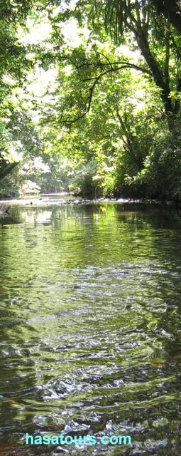
Temburong is the second largest district covering an area of approximately 1,306 sq. km. It has a population of around 9,000 people, most of whom either work with the Government or as traders, farmers or fishermen.Like the other district, it is divided into several mukims namely Pekan Bangar, Bokok, Batu Apoi, Amo and Labu. The district is blessed with a variety of tourist attraction. The best known places for tourists are Batu Apoi National Park, Kuala Belalong Tropical Rainforest Research Centre and Outward Bound Brunei Darussalam.
Subscribe to:
Post Comments (Atom)


No comments:
Post a Comment